 Catàleg local de Mallorca
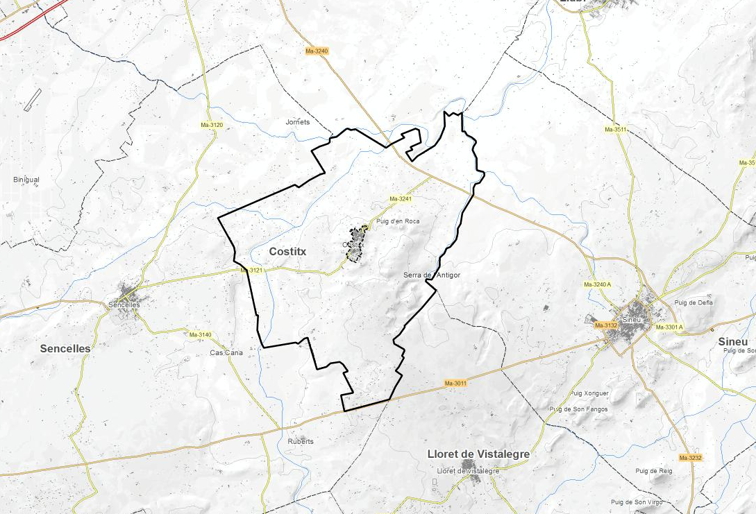
Ajuntament de Costitx
Type of resources
Available actions
Municipios
INSPIRE themes
Keywords
Contact for the resource
Provided by
Years
Formats
Representation types
Service types
Scale
-
Cartography of the network of roads, roads and streets of the municipality of Costitx. It refers to the topic Transportation Networks in Annex I of the INSPIRE Directive. Mapping generated in 2019. The sources are the streets and paths of the Cartociudad's project, wich are update with the staff's knowlege of the council. Scale 1: 2,000 the streets and scale 1: 5,000 the roads and roads. Reference system: ETRS89. Projection system: UTM fus 31. Storage format: PostgreSQL.
-
Data set that contains the types of qualifications of the urban land of the town of Costitx. Scale 1: 1,000. The reference system: ETRS89. Projection system: UTM spindle 31. Storage format: DGN i SHP.
-
Data set of the subject Using the soil of INSPIRE, generated from the cartography of the Subsidiary Standards of Costitx, approved in 2005. It consists of three layers: Spatial plan, Zoning elements and Supplementary regulation. The data model and the symbology of the data set follow the specifications of the theme of Annex III of the European Directive INSPIRE, Land use, specifically of the scheme Planned land use. Urban elements are digitized at 1: 2,000 scale and rustic elements, at 1: 5,000 scale. The reference system: ETRS89. Projection system: UTM fus 31. Storage format: PostgreSQL.
-
Data set containing the addresses of the urban center of Costitx and a few kilometers from the rustic area of the municipality. Cartography was extracted from the Cartociudad project of 2012, a state project that collects all spatial information related to directions and roads. The AD.Addresses.017 layer is a layer of points and contains the addresses or portal numbers and various attributes that follow the Cartociudad data model and INSPIRE. Scale 1: 2,000. The reference system: ETRS89. Projection system: UTM fus 31. Storage format: PostgreSQL.
-
Data set containing elements and areas protected by municipal legislation. The protection is provided by the Subsidiary Regulations of the municipality of Costitx in 2017. The Protected layer. Sites recognize all protected elements (deposits, mills, possessions, natural areas, etc.). We also find several layers according to the type of Designation, Scheme of Designation and Protection Classification. Urban elements are digitized at 1: 1,000 scale and rustic elements, at 1: 5,000 scale. The reference system: ETRS89. Projection system: UTM fus 31. Storage format: PostgreSQL.
-

Data set containing the management areas of the municipality of Costitx. The cartography was taken from the Adaptation of Costitx Subsidiary Standards of 2017 to the Territorial Plan. The ForestManagementArea layer is a polygon layer and contains managed, restricted, or regulated forest areas that follow the INSPIRE data model. Scale 1: 5,000. The reference system: ETRS89. Projection system: UTM zone 31. Storage format: PostgreSQL.
-
Data set containing buildings for residential use on rural land in the municipality of Costitx. The cartography was extracted from a 2016 Costitx municipal information layer. The Buildings layer is a polygon layer and contains the buildings on rural land that follow the INSPIRE data model. Scale 1: 5,000. The reference system: ETRS89. Projection system: UTM zone 31. Storage format: PostgreSQL.
-
Web Map Service that allows access to the cartography of the buildings of the municipality of Costitx. Cartography extracted from a layer produced by the municipality of Costitx. The service contains the general layer BU.Buildings contains the buildings of Costitx. The symbology associated with the layers is defined by the INSPIRE specifications. Access to this service is free as long as the Costitx City Council appears as the owner of the data and the Consell de Mallorca as the owner of the service. Scale 1: 5,000.
-
Web Map Service that allows access to the cartography of the addresses of the municipality of Costitx. Cartography extracted from the Cartociudad project. The service contains the general layer called AD.Addresses.017 contains the addresses of the urban center of Costitx and a few kilometers from the rustic area of the municipality. The symbolism associated with layers is defined by the INSPIRE specifications. Access to this service is free provided that Costitx Town Hall appears as the owner of the data and Consell de Mallorca as the owner of the service. Scale 1: 2,000.
-
Web Map Service according to the INSPIRE profile of ISO19128 WMS 1.3.0 that allows access to the cartography that represents the transport infrastructure network of Costitx, Mallorca, Balearic Islands Spain. The scale of representation is 1: 5000. Geographic information belonging to the Inspire annex I is shown Transport networks. The layers of information are in accordance with the INSPIRE Directive 2007/2 / EC (name, title and style Inspire by default). The access or connection to this service, to obtain the functionalities is free in any case.